 |
Terra MODIS true color imagery 2/15/15 |
 |
Google Earth Imagery 4/9/13 |
 |
Landsat 8 true color imagery mult images stitched from throughout Feb |
 |
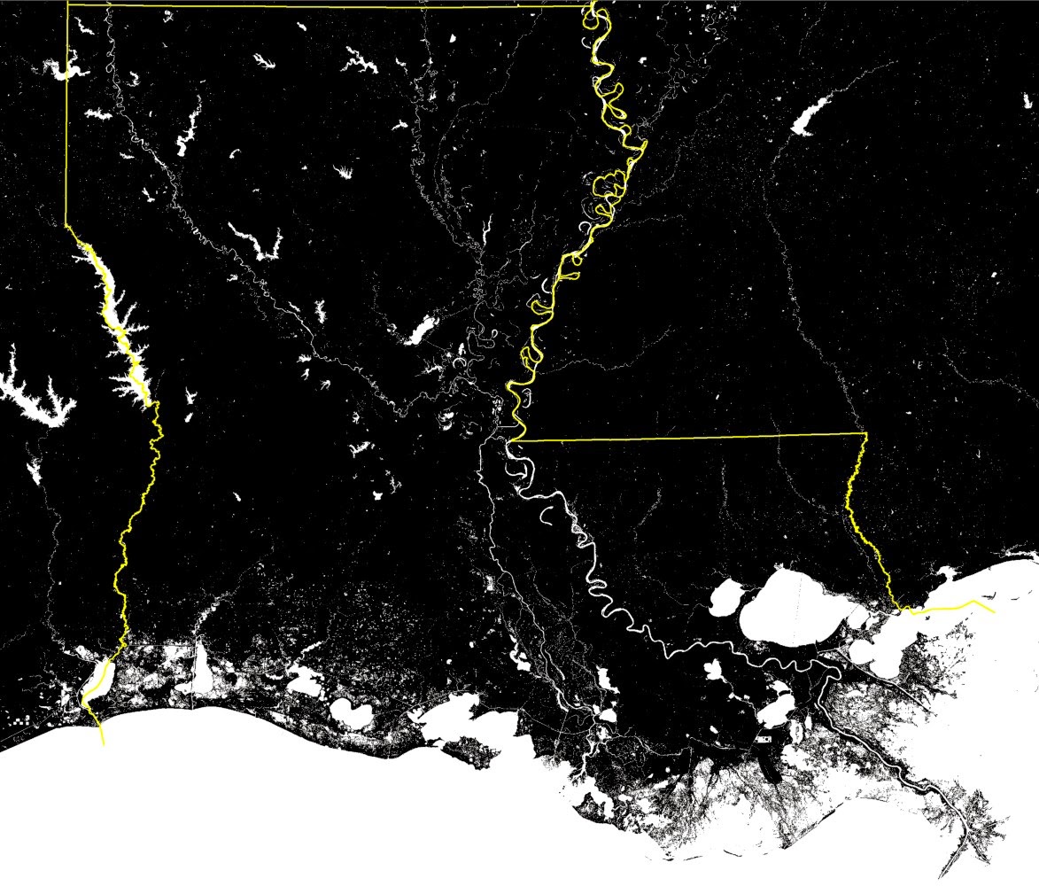
| USGS 2011 National Land Cover Database data, showing how much wetland is left in Louisiana. |
 |
Terra MODIS true color imagery 2/15/15 |
 |
Google Earth Imagery 4/9/13 |
 |
Landsat 8 true color imagery mult images stitched from throughout Feb |
 |
| USGS 2011 National Land Cover Database data, showing how much wetland is left in Louisiana. |
No comments:
Post a Comment